|
|
|
| Maps > Europe > Regional Maps >Eastern Europe |
Regional European maps of the Eastern Europe region from the Maps ETC collection. This includes physical and political maps, early history and empires, WWI maps, climate maps, relief maps, vegetation maps, population density and distribution maps, cultural maps, and economic/resource maps.
|
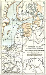
Eastern Baltic and Northern Poland,
1560–1661 |
|
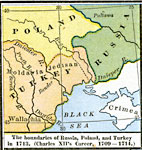
The Boundaries of Russia, Poland, and Turkey,
1709–1714 |
|
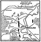
Battle of Friedland,
1807 |
|
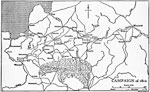
Napoleon's Russian Campaign,
1812 |
|
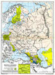
Russia in Europe in the Nineteenth Century,
1815–1870 |
|
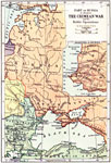
Part of Russia, illustrating the Crimean War and the Baltic Operations ,
1853–1856 |
|
Russia and Roumania,
1904 |
|
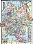
Russia,
1906 |
|
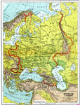
Russia in Europe and Caucasia,
1909 |
|
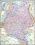
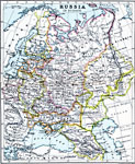
Russia in Europe,
1910 |
| Next | Last |
| Maps > Europe > Regional Maps >Eastern Europe |
Maps
is a part of the
Educational Technology Clearinghouse
Produced by the
Florida Center for Instructional Technology
© 2009
College of Education
,
University of South Florida