Maps Site map
  Maps > Europe > Regional Maps >Low Countries
Site Map  

  Record   1   to   10  of   16

Regional European maps of the Low Countries region from the Maps ETC collection. This includes physical and political maps, early history and empires, WWI maps, climate maps, relief maps, vegetation maps, population density and distribution maps, cultural maps, and economic/resource maps.
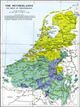
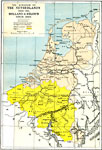
The Netherlands, 1568–1648
A map of the Netherlands between 1568 under Charles V to independence in1648 by the Treaty of Münster, subtitled "The Wars of Independence." This map is color–coded to show boundaries before and after independence was declared. &...

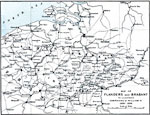
Flanders and Brabant, 1690–1696
A map of Flanders and Brabant in 1690–1696, the site of campaigns of William III....

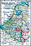
The Kingdom of the Netherlands, Holland and Belgium, 1815–1912
A map showing The Kingdom of the Netherlands, established by the Conference of Vienna in 1815, and the countries of Holland and Belgium since the treaty of London established an independent Belgium in1839 current to 1912. "The whole coloured are...

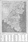
The Netherlands, 1859
A map from 1859 of the Netherlands showing the division into Holland and Belgium. This map shows major cities and rivers, the Zuider Zee, and the political districts for the two countries....

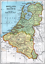
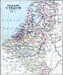
Holland and Belgium, 1872
A map from 1872 of Holland and Belgium, showing boundaries, principal cities, canals, and provinces of the countries. The map shows a portion of Germany's Rhenish Prussia, and shows Luxemburg as a possession of Holland....

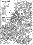
Netherlands and Belgium, 1909
A map from 1909 of the Netherlands, Belgium, and Luxemburg showing province boundaries, major cities and ports, railroads, canals, rivers and hilly areas of the region. This map has a reference key to the provinces of the Netherlands and Belgium....

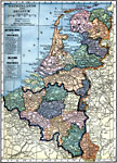
Holland, Belgium, and Luxemburg, 1910
A map from 1910 of Holland, Belgium, and Luxemburg, showing principal cities, railroads, canals, and provinces of the countries....

Netherlands and Belgium, 1912
A map of the Netherlands, Belgium, and Luxemburg in 1912, showing cities, waterways, mountain ranges, canals, and railroads. The map also shows the provinces of both the Netherlands and Belgium....

Netherlands, Belgium, and Grand Duchy of Luxemburg, 1914
A map of the Netherlands, Belgium, and the Grand Duchy of Luxemburg in 1914, showing province boundaries, major cities and ports, railroads, canals, rivers and hilly areas of the region. This map has a reference key to the provinces, cities, and town...

Holland, Belgium, and Luxemburg, 1914–1919
A map from 1919 of Holland, Belgium, and Luxemburg showing borders and capitals after World War I. The map shows principal cities and towns, railroads, canals, rivers, and coastal features....

Next Last


  Maps > Europe > Regional Maps >Low Countries
Site Map  

Maps is a part of the Educational Technology Clearinghouse
Produced by the Florida Center for Instructional Technology © 2009
College of Education , University of South Florida