Maps Site map
  Maps > North America > Complete Maps
Site Map  

  Record   1   to   10  of   90

Historic and contemporary maps of North America, including physical and political maps, early exploration maps, colonization period, Native American distribution, climate maps, relief maps, population density and distribution maps, vegetation maps, and economic/resource maps.
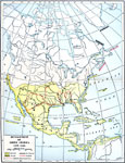
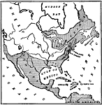
Development of North America, 1492–1564
A map of the Americas showing the European exploration and development between the first voyage of Christopher Columbus (1492) and the establishment of Saint Augustine, Florida by Pedro Menendez de Aviles (1564). The map is color–coded to show ...

European Colonization in North America, 1500–1700
A map of North America showing the European colonization in the region up to the year 1700. The map is color–coded to show the possessions of the British, French, Spanish, Dutch, Swedish, and Danish. The map shows the territory in dispute betwe...

North American Region, 1578
George Beste's depiction of North America and the region around Frobisher's Strait....

Eastern North America, 1650
Areas of North America claimed by England, France, and Spain, as well as unexplored areas....

Original Range of the Bison, 1720–1903
A map of North America showing the original range of the American bison. The map shows the dates of local extermination, location, and numbers of wild animals in 1903 (Central Canada and the Rockies). "Beyond all doubt the most noteworthy of all...

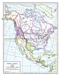
North America, 1783
A map of North America, Central America, and northern South America at the end of the American Revolutionary War (1783). The map is color–coded to show the territory of the United States at the time, British possessions in Canada, Russian posse...

North America, 1840
A map of North America in 1840 at the time when the concept of "Manifest Destiny" was being applied to annex the Oregon Territory, Texas, and much of northern Mexico into the United States. The map is color–coded to show the extent of...

North America, 1858
A map from 1858 of North America showing the boundaries at the time for Russian America (Alaska), Greenland, British America or New Britain, Canada East and Canada West, the United States, Mexico, Central America, and the West Indies Islands. The map...

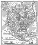
North America, 1868
A map from 1868 of North America, Central America, and the Caribbean showing the physical features of the region, vegetation types, ocean currents, temperatures, principal products and mineral deposits. Mountain chains are represented by lines of var...

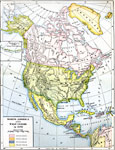
North America and West Indies, 1870
A map of North America, Central America, and the Caribbean to St. Thomas and St. John islands in 1870 showing political boundaries at the time, mountain systems and terrain, rivers, and major cities. The map is color–coded to show the European ...

Next Last


  Maps > North America > Complete Maps
Site Map  

Maps ETC is a part of the Educational Technology Clearinghouse
Produced by the Florida Center for Instructional Technology © 2009
College of Education, University of South Florida