|
|
|
| Maps > North America > Regional Maps |
Regional maps of North America, which include several selections of countries and nations displaying physical and political features, economy, discovery, and more.
|
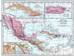
Mexico, Central America, and West Indies,
1899 |
|
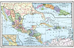
Mexico, Central America, and the West Indies,
1901 |
|
Mexico, Central America, and West Indies,
1901 |
|
Central America and the West Indies,
1902 |
|
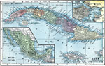
Cuba and Mexico,
1903 |
|
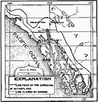
Hay-Herbert Treaty,
1903 |
|
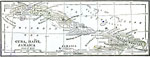
Cuba, Haiti, and Jamaica,
1904 |
|
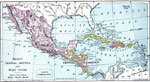
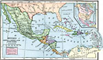
Mexico, Central America, and the West Indies,
1906 |
|
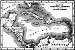
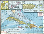
West Indies,
1906 |
|
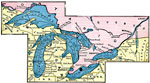
Great Lakes Region,
1906 |
| First | Previous | Next | Last |
| Maps > North America > Regional Maps |
Maps ETC is a part of the Educational Technology Clearinghouse
Produced by the Florida Center for Instructional Technology © 2009
College of Education, University of South Florida