|
|
|
| Maps > North America > Regional Maps |
Regional maps of North America, which include several selections of countries and nations displaying physical and political features, economy, discovery, and more.
|
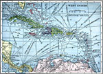
West Indies,
1909 |
|
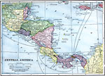
Central America,
1909 |
|
West Indies,
1910 |
|
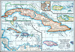
Cuba, Puerto Rico, and Jamaica,
1910 |
|
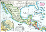
Mexico and Central America,
1910 |
|
Rainfall on the West Coast,
1910 |

|
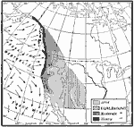
Western Rainfall Patterns,
1910 |
|
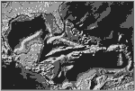
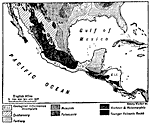
Geology of Mexico and Central America,
1910 |
|
Lake Agassiz,
1911 |
|
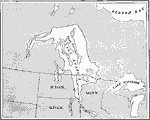
Drainage on the Laurentian Plateau,
1911 |
| First | Previous | Next | Last |
| Maps > North America > Regional Maps |
Maps ETC is a part of the Educational Technology Clearinghouse
Produced by the Florida Center for Instructional Technology © 2009
College of Education, University of South Florida