|
|
|
| Maps > North America > Regional Maps |
Regional maps of North America, which include several selections of countries and nations displaying physical and political features, economy, discovery, and more.
|
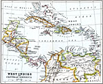
West Indies and Central America,
1911 |
|
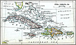
Cuba and Jamaica,
1911 |

|
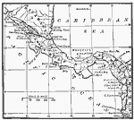
Central America,
1912 |
|
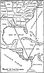
Routes to the Panama Isthmus,
1913 |
|
The American Isthmus,
1913 |

|
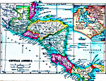
Central America,
1914 |

|
West Indies,
1914 |
|
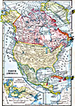
North America,
1914–1919 |
|
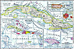
Central America,
1914–1919 |
|
Cuba, Porto Rico, and Jamaica,
1914–1919 |
| First | Previous | Next | Last |
| Maps > North America > Regional Maps |
Maps ETC is a part of the Educational Technology Clearinghouse
Produced by the Florida Center for Instructional Technology © 2009
College of Education, University of South Florida