|
|
|
| Maps > North America > Regional Maps |
Regional maps of North America, which include several selections of countries and nations displaying physical and political features, economy, discovery, and more.
|
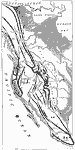
Orographic Map of the Pacific Mountain System,
1873 |
|
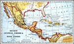
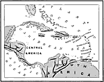
Mexico, Central America, West Indies,
1882 |
|
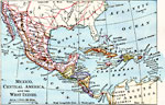
Mexico, Central America, and the West Indies,
1883 |
|
The San Juan Boundary,
1883 |

|
Mexico, Central America, West Indies,
1888 |
|
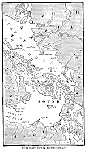
West India Island Chains,
1890 |
|
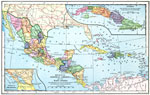
Mexico, Central America, and the West Indies,
1898 |
|
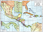
The West Indies and Mexico,
1898–1906 |
|
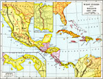
West Indies and Mexico,
1898–1906 |
|
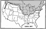
Extent of Glacial Drift in North America,
1899 |
| First | Previous | Next | Last |
| Maps > North America > Regional Maps |
Maps ETC is a part of the Educational Technology Clearinghouse
Produced by the Florida Center for Instructional Technology © 2009
College of Education, University of South Florida