|
|
|
| Maps > North America > Regional Maps |
Regional maps of North America, which include several selections of countries and nations displaying physical and political features, economy, discovery, and more.
|
Central America and Isthmian Routes,
1846–1860 |
|
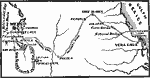
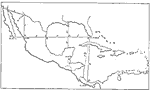
General Scott's Campaign in Mexico,
1847 |
|
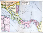
Proposed Isthmian Canal Routes,
1848–1884 |
|
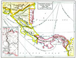
Proposed Isthmian Canal Routes,
1848–1884 |
|
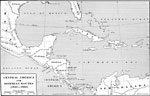
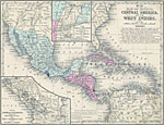
Mexico, Central America and the West Indies,
1852 |
|
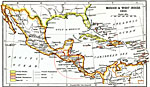
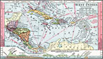
Mexico and West Indies,
1855 |
|
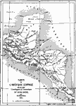
Central America,
1861 |
|
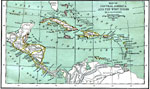
Central America and West Indies,
1870 |
|
Drawing Mexico and Central America,
1872 |
|
West Indies and Central America,
1872 |
| First | Previous | Next | Last |
| Maps > North America > Regional Maps |
Maps ETC is a part of the Educational Technology Clearinghouse
Produced by the Florida Center for Instructional Technology © 2009
College of Education, University of South Florida