| Maps > United States > Michigan |
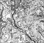 |
Drainage Irregularities in the Lake Superior Highlands, A map showing the typical drainage irregularities in the Lake Superior Highlands. |
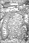 |
Map of Michigan, Map of Michigan. |
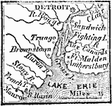 |
Vicinity of Detroit, 1812 A map showing the vicinity of Detroit around the time of the War of 1812. |
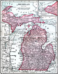 |
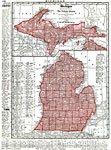
Michigan, 1906 Map of Michigan in 1906. |
 |
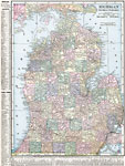
Michigan, 1912 A map of Michigan in 1912. |
 |
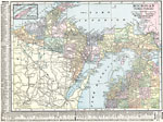
Michigan (Southern Peninsula), 1920 Map of southern part of Michigan. |
 |
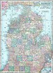
Michigan (Northern Peninsula), 1920 Map of northern part of Michigan. |
 |
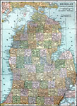
Southern Peninsula of Michigan, 1920 Physical map of the southern peninsula of Michigan. |
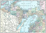 |
Northern Peninsula of Michigan, 1920 Physical map of the northern peninsula of Michigan with a map insert of Isle Royal. |
 |
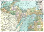
Michigan's Southern Peninsula, 1920 The southern peninsula of Michigan. |
 |
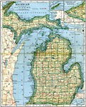
Michigan's Northern Peninsula, 1920 The northern peninsula of Michigan. |
 |
Michigan, Post World War I Map of Michigan. |
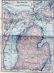 |
Michigan, 1922 Physical map of Michigan. |
| Maps > United States > Michigan |
Maps is a part of the Educational Technology Clearinghouse
Produced by the Florida Center for Instructional Technology © 2007
College of Education, University of South Florida