|
|
|
| Maps > United States > Early America 1400-1800 |
A collection of historic maps of early America from explorations and settlements of the English, French, and Spanish, to the end of the American Revolutionary War.

|
Fort William Henry,
1757 |
|
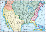
Claims in North America,
1760 |
|
Old Claims in the Present Territory of the United States,
1763 |
|
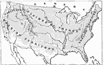
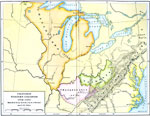
The Western Frontier and Pontiac's Rebellion,
1763 |
|
Native American Delimitations,
1763–1770 |
|
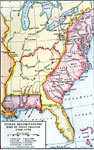
Proposed Western Colonies,
1763–1775 |
|
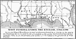
West Florida Under the English,
1763–1780 |
|
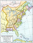
British Possessions in North America,
1765 |
|
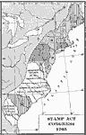
Designation of Members to the General Stamp Act Congress,
1765 |
|
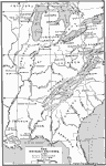
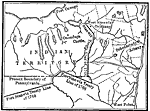
The Iroquois Country,
1768 |
| First | Previous | Next | Last |
| Maps > United States > Early America 1400-1800 |
Maps ETC is a part of the Educational Technology Clearinghouse
Produced by the Florida Center for Instructional Technology © 2009
College of Education, University of South Florida