|
|
|
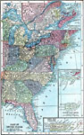
| Maps > United States > Regional Maps >Eastern States |
|
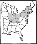
States Controlled by Protectionists,
1828 |
|
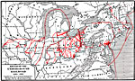
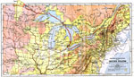
Routes of the Underground Railroad,
1830–1865 |
|
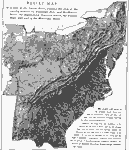
Relief Map of the States East of the Mississippi River,
1872 |
|
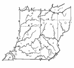
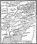
Drawing Ohio, Indiana, and Kentucky,
1872 |
|
Eastern North America,
1903 |
|
The North Eastern Section of the United States,
1904 |
|
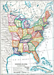
The Eastern United States,
1910 |
|
The Fall Line,
1910 |
|
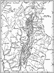
Drainage of the Appalachian Region,
1911 |
|
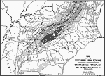
The Southern Appalachians,
1911 |
| Next | Last |
| Maps > United States > Regional Maps >Eastern States |
Maps
is a part of the
Educational Technology Clearinghouse
Produced by the
Florida Center for Instructional Technology
© 2009
College of Education
,
University of South Florida