|
|
|
| Maps > United States > Regional Maps >South Atlantic States |
|
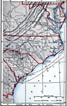
Southern Campaigns of the Revolutionary War,
1778–1783 |
|
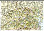
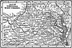
Virginia and West Virginia,
1892 |
|
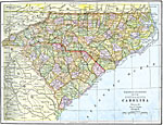
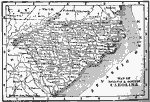
North and South Carolina,
1892 |
|
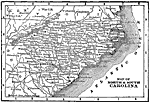
North and South Carolina,
1898 |
|
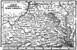
Virginia and West Virginia,
1898 |
|
North and South Carolina,
1902 |
|
Virginia and West Virginia,
1902 |

|
Virginia and West Virginia,
1914 |
|
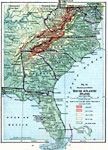
South Atlantic States,
1916 |

|
Virginia and West Virginia,
1920 |
| Maps > United States > Regional Maps >South Atlantic States |
Maps
is a part of the
Educational Technology Clearinghouse
Produced by the
Florida Center for Instructional Technology
© 2009
College of Education
,
University of South Florida