|
|
|
| Maps > United States > Regional Maps >Southern States |
|
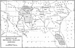
Removal of Southern Indians,
1830–1834 |
|
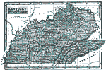
Kentucky and Tennessee,
1845 |
|
Southern and Southwestern States,
1872 |
|
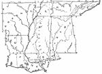
Drawing Arkansas, Alabama, Mississippi, Louisiana, and Tennessee,
1872 |
|
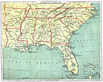
Southern States,
1882 |
|
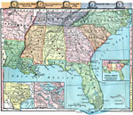
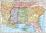
Southeastern States,
1883 |
|
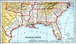
Southern States,
1888 |
|
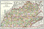
Kentucky and Tennessee,
1891 |
|
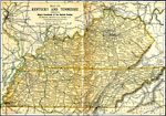
Kentucky and Tennessee,
1892 |
|
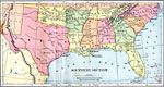
Southern Section,
1897 |
| Next | Last |
| Maps > United States > Regional Maps >Southern States |
Maps
is a part of the
Educational Technology Clearinghouse
Produced by the
Florida Center for Instructional Technology
© 2009
College of Education
,
University of South Florida