|
|
|
| Maps > Europe > Austria-Hungary |
A collection of historic and contemporary political and physical maps of Austria-Hungary, including early history and empire, boundary changes, and break up after WWI.
|
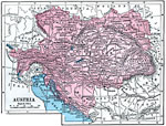
Austria,
1872 |
|
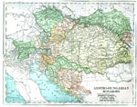
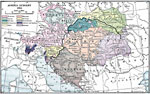
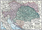
Austro-Hungarian Monarchy,
1880 |
|
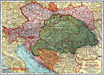
Austro-Hungarian Monarchy,
1883 |
|
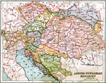
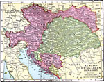
Austria-Hungary,
1904 |
|
Austro-Hungarian Monarchy,
1906 |
|
Austria-Hungary,
1910 |
|
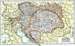
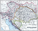
Austria-Hungary,
1914 |
|
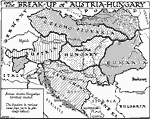
The Breakup of Austria-Hungary,
1918 |
|
Austria-Hungary,
1919 |
|
Austria-Hungary,
1920 |
| Next | Last |
| Maps > Europe > Austria-Hungary |
Maps ETC is a part of the Educational Technology Clearinghouse
Produced by the Florida Center for Instructional Technology © 2009
College of Education, University of South Florida