|
|
|
| Maps > Europe > Complete Maps |
Historic and contemporary maps of Europe, including physical and political maps, early history and empires, WWI maps, climate maps, relief maps, vegetation maps, population density and distribution maps, cultural maps, and economic/resource maps.

|
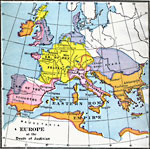
Europe,
1920 |

|
Western Europe during the Third Inter-Glacial Stage,
25,000 BCE |

|
Map of Europe,
25,000 YBP |
|
Outline Map of Europe,
5,000 BCE |
|
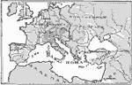
Europe at the Death of Justinian,
AD 565 |
|
Empire of Charlemagne,
AD 768–814 |
|
Europe at the Death of Charles the Great,
AD 814 |

|
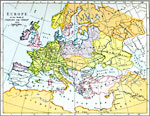
Europe,
AD 912 |
|
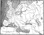
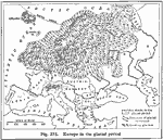
Europe During the Glacial Period,
Glacial Period |
|
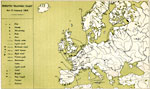
Synoptic Weather Chart,
January 22, 1868 |
| First | Previous | Next | Last |
| Maps > Europe > Complete Maps |
Maps ETC is a part of the Educational Technology Clearinghouse
Produced by the Florida Center for Instructional Technology © 2009
College of Education, University of South Florida