|
|
|
| Maps > Globes and Multi-continent > Complete Maps |
A collection of world and multi-continent maps, including various projections, hemispheric maps, physical and political maps, early known world maps, climate maps, relief maps, ocean current maps, population density and distribution maps, vegetation maps, and economic/resource maps.
|
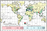
Oils - Petroleum and Vegetable Oils,
1915 |
|
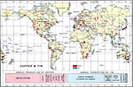
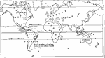
Copper & Tin,
1915 |
|
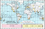
Diamonds and Precious Stones,
1915 |
|
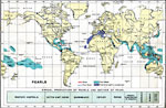
Pearls,
1915 |
|
Important Animals and Major Crops of the World,
1915 |
|
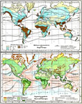
Average Temperature and Rainfall; Vegetation Regimes and Ocean Currents ,
1915 |
|
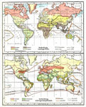
Races and Religions of the World,
1915 |
|
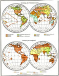
Prevailing Westerlies and Trade Winds,
1916 |
|
Coffee Production,
1916 |
|
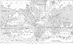
Ocean Currents,
1916 |
| First | Previous | Next | Last |
| Maps > Globes and Multi-continent > Complete Maps |
Maps ETC is a part of the Educational Technology Clearinghouse
Produced by the Florida Center for Instructional Technology © 2009
College of Education, University of South Florida