|
|
|
| Maps > Globes & Multi-Continent > Regional Maps >Regional Atlantic Ocean |
Regional Globes & Multi-Continental maps of the Regional Atlantic Ocean region from the Maps ETC collection. This may include physical and political maps, early history and empires, climate maps, relief maps, vegetation maps, population density and distribution maps, cultural maps, and economic/resource maps.
|
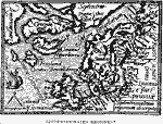
Septentrionales Regiones,
1585 |
|
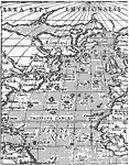
Ortelius' World,
1587 |
|
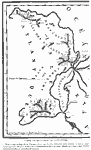
Atlantis,
1678 |
|
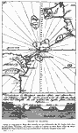
Traces of Atlantis,
1785 |
|
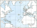
North Atlantic,
1803–1805 |
|
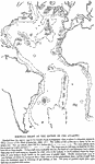
Contour Chart of the Bottom of the Atlantic,
1888 |
|
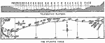
Atlantic Telegraph Cable,
1890 |
|
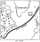
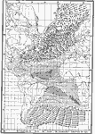
Gulf Stream,
1890 |
|
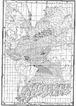
January Atlantic Winds,
1896 |
|
July Atlantic Winds,
1896 |
| First | Previous | Next | Last |
| Maps > Globes & Multi-Continent > Regional Maps >Regional Atlantic Ocean |
Maps
is a part of the
Educational Technology Clearinghouse
Produced by the
Florida Center for Instructional Technology
© 2009
College of Education
,
University of South Florida