|
|
|
| Maps > North America > Canada |
Historic and contemporary maps of Canada including physical and political maps of provinces and territories, early exploration and settlement, climate, vegetation, battle plans, geomorphic, and automobile route maps.
|
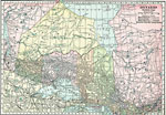
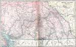
Northern Ontario,
1920 |
|
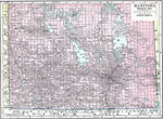
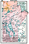
Southern Manitoba,
1920 |
|
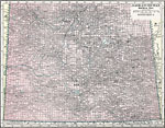
Southern Saskatchewan,
1920 |
|
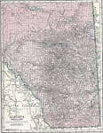
Southern Alberta,
1920 |
|
Southern British Columbia,
1920 |
|
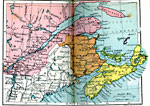
Maritime Provinces and Quebec,
1920 |
|
Northern Ontario,
1920 |
|
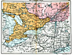
Settled Ontario,
1920 |
|
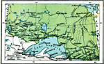
Manitoba,
1920 |
|
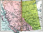
British Columbia and Alberta,
1920 |
| First | Previous | Next | Last |
| Maps > North America > Canada |
Maps ETC is a part of the Educational Technology Clearinghouse
Produced by the Florida Center for Instructional Technology © 2009
College of Education, University of South Florida