|
|
|
| Maps > United States > California |
A collection of historic and contemporary political and physical maps of California, including early exploration, geomorphic maps, and relief maps.
|
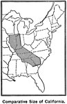
Comparative Size of California,
1899 |

|
San Francisco Bay,
1901 |

|
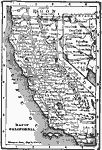
California,
1902 |
|
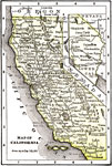
California,
1902 |

|
San Francisco Bay,
1903 |
|
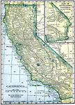
California,
1904 |

|
California,
1906 |
|
California,
1909 |

|
San Francisco and Vicinity,
1909 |

|
San Francisco Harbour,
1909 |
| First | Previous | Next | Last |
| Maps > United States > California |
Maps ETC is a part of the Educational Technology Clearinghouse
Produced by the Florida Center for Instructional Technology © 2009
College of Education, University of South Florida