|
|
|
| Maps > United States > Complete Maps |
Historic and contemporary maps of the United States, including physical and political maps, early exploration and colonization period, territorial expansion maps, climate maps, relief maps, population density and distribution maps, vegetation maps, and economic/resource maps.
|
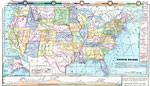
United States,
1872 |
|
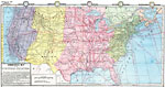
Commercial Map of the United States,
1872 |
|
Drawing the United States,
1872 |
|
Comparative Areas of the United States and Other Countries,
1872 |
|
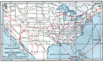
Earthquake Activity in the United States,
1872–1882 |
|
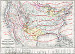
Mountains, Plains, Rivers, Isothermal Lines of the United States,
1873 |
|
United States of America,
1883 |
|
United States,
1888 |
|
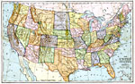
The United States,
1890 |
|
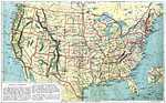
The United States,
1890 |
| First | Previous | Next | Last |
| Maps > United States > Complete Maps |
Maps ETC is a part of the Educational Technology Clearinghouse
Produced by the Florida Center for Instructional Technology © 2009
College of Education, University of South Florida