|
|
|
| Maps > United States > Elections |
A collection of historic maps of election results in the United States, for use in the K-12 classroom.
|
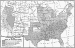
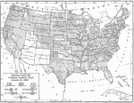
Congressional Election,
1866 |
|
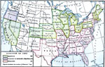
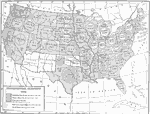
Election,
1876 |
|
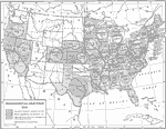
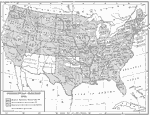
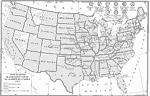
Presidential Election,
1884 |
|
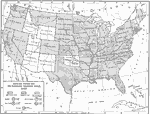
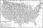
House Vote on the McKinley Tariff,
1890 |
|
House Vote on the Wilson Tariff,
1894 |
|
Presidential Election,
1900 |
|
Presidential Election,
1904 |
|
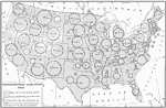
Presidential Election,
1912 |
|
Vote on the Underwood Tariff,
1913 |
|
Presidential Election,
1916 |
| First | Previous | Next | Last |
| Maps > United States > Elections |
Maps ETC is a part of the Educational Technology Clearinghouse
Produced by the Florida Center for Instructional Technology © 2009
College of Education, University of South Florida