|
|
|
| Maps > United States > Elections |
A collection of historic maps of election results in the United States, for use in the K-12 classroom.
|
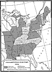
Presidential Election,
1844 |
|
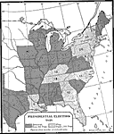
Presidential Election,
1848 |
|
Presidential Election ,
1848 |
|
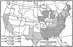
Test Vote of Compromise of 1850,
1850 |
|
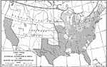
Test-vote on the Kansas-Nebraska Bill,
1854 |
|
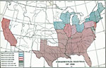
Party Situations,
1855 |
|
|
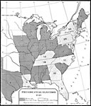
Presidential Election,
1856 |
|
Presidential Election ,
1856 |
|
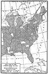
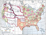
Presidential Election,
1860 |
|
Presidential Election ,
1860 |
| First | Previous | Next | Last |
| Maps > United States > Elections |
Maps ETC is a part of the Educational Technology Clearinghouse
Produced by the Florida Center for Instructional Technology © 2009
College of Education, University of South Florida