|
|
|
| Maps > United States > New York |
A collection of historic and contemporary political and physical maps of New York, including early exploration and settlement maps, Revolutionary War maps, geophysical maps, and automobile route maps.
|
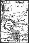
Buffalo and Vicinity,
1909 |

|
The Environs of New York,
1909 |
|
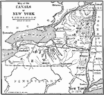
Canals of New York,
1910 |
|
Buffalo, Rochester, and Albany,
1910 |
|
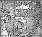
Ice During the Wisconsin Glaciation,
1911 |
|
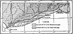
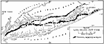
Terminal Moraines of Long Island,
1911 |
|
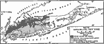
Soils of Long Island,
1911 |

|
Vegetation of Long Island,
1911 |
|
Adirondack Mountains,
1911 |
|
Drainage Lines of the Eastern Adirondacks,
1911 |
| First | Previous | Next | Last |
| Maps > United States > New York |
Maps ETC is a part of the Educational Technology Clearinghouse
Produced by the Florida Center for Instructional Technology © 2009
College of Education, University of South Florida