|
|
|
| Maps > United States > New York |
A collection of historic and contemporary political and physical maps of New York, including early exploration and settlement maps, Revolutionary War maps, geophysical maps, and automobile route maps.
|
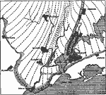
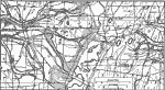
Ice Movement in the Vicinity of New York,
1911 |
|
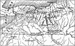
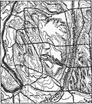
Western New York,
1911 |
|
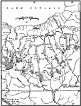
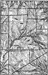
Physiographic Belts in Central New York,
1911 |

|
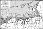
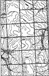
Portion of New York,
1911 |
|
Glacial Lake Succession in New York State,
1911 |

|
Glacial Lake Succession in New York State,
1911 |
|
Ice-border Drainage,
1911 |
|
Roc Drumlins,
1911 |
|
Cherry Creek Quadrangle,
1911 |
|
Ovid Quadrangle,
1911 |
| First | Previous | Next | Last |
| Maps > United States > New York |
Maps ETC is a part of the Educational Technology Clearinghouse
Produced by the Florida Center for Instructional Technology © 2009
College of Education, University of South Florida