Maps Site map
  Maps > Asia > A Complete Map of Asia
Site Map  

  Record   11   to   20  of   71

Historic and contemporary maps of Asia, including physical and political maps, early exploration and colonization period maps, climate maps, relief maps, population density and distribution maps, vegetation maps, and economic/resource maps.
Asia and Biblical Lands, 1883
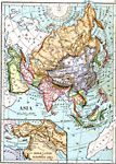
A map of Asia from 1883 showing country boundaries at the time, major cities, railroads, rivers, lakes, terrain, and coastal features. An inset map details the Biblical lands in western Asia....

Mountain Ranges of Asia, 1885
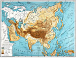
An orographic map of Asia from 1885 showing the major mountain systems, plateaus, and plains, rivers, lakes, and coastal features of the region. This map is color-coded to show general elevations, with green representing lowlands and plains, and buff...

Asia, 1885
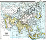
A map of Asia from 1885 showing country boundaries at the time, major cities, rivers, lakes, terrain, and coastal features. This map shows the extent of the Russian Empire and Turkish Ottoman Empire in Asia, the Empire of Japan and Chinese Empire, fo...

Major Political Divisions of Asia., 1888
A map of Asia from 1888 showing country boundaries at the time, capitals and major cities, rivers, canals, lakes, deserts, terrain, and coastal features. The major political divisions shown on this map are Siberia and the Russian Empire territories o...

Relief Map of Asia, 1890
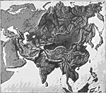
A relief map from 1890 of Asia showing terrain features of the region including mountain systems, plateaus and basins, lakes, river systems, coastal features, and islands. "As North America and South America resemble each other in the arrangemen...

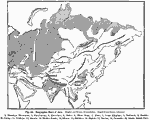
Orographic Chart of Asia, 1891
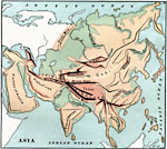
A base map from 1891 showing the mountain systems of Asia. The map shows highlands in white, lowlands as shaded, and shows major mountain ranges with heavy black lines. Major rivers are shown. The map is keyed to show the Himalaya Mountains (1), Kara...

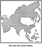
Comparative Area of Asia and the United States, 1899
A base map from 1899 showing the relative size of Asia by superimposing an outline of the United States over it....

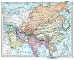
Asia, 1899
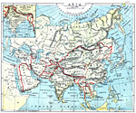
A map of Asia from 1899 showing country boundaries at the time, foreign possessions, capitals and major cities, rivers, canals, lakes, deserts, terrain, and coastal features. This map shows the principal railways and caravan routes of the region with...

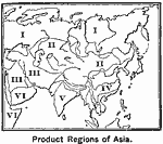
Agricultural Regions of Asia, 1899
A map of Asia from 1899 showing the primary agricultural production regions of Asia. This map is keyed to show the Northern Plain – region of forests (I), Central Asia – steppes and deserts (II), Mediterranean region – fruits, cerea...

Asia (Physical), 1901
A map of Asia from 1901 showing the physical features of the region including mountain systems, plateaus, basins, plains, deserts, lakes, rivers, and coastal features and islands. The map shows major ocean currents, the mean annual isotherms of 32&de...

First Previous Next Last


  Maps > Asia > A Complete Map of Asia
Site Map  

Maps ETC is a part of the Educational Technology Clearinghouse
Produced by the Florida Center for Instructional Technology © 2009
College of Education, University of South Florida