Maps Site map
  Maps > Europe > United Kingdom
Site Map  

  Record   131   to   140  of   228

A collection of historic and contemporary maps of England, Scotland, and Wales, including historic divisions, empires and kingdoms, detailed travel maps, climate maps, population density and distribution maps, vegetation maps, and economic/resource maps.
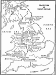
Coalfields of Great Britain, 1910
Map of the major coal fields of Great Britain. ...

The locations of London and Liverpool, 1910
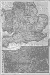
A map of Wales and southern England from 1910, showing the major coal districts, railways (with the names of the lines), steamship routes, major cities and ports, and rivers. Two inset maps show details of the cities Liverpool and London, with docks,...

British Isles, 1912
A black and white map of the British Isles in 1912, showing cities, waterways, mountain ranges, railroads, and submarine cables....

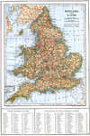
England and Wales, 1914
A map of England, Wales, and the southern portion of Scotland in 1914, showing counties, major cities and towns, railroad and canal routes, submarine cables, rivers, and terrain. This map includes an insert of the Scilly Islands, and a reference key ...

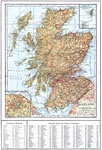
Scotland, 1914
A map of Scotland from 1914, showing counties (names of county boroughs are underlined), major cities and towns, railroad and canal routes, rivers, lakes, terrain, and coastal features. There are insert maps of Edinburgh and the Orkney and Shetland I...

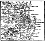
Aberdeen, Scotland, 1914
A plan of Aberdeen, Scotland, in 1914, showing major roads, railway, landmark buildings, neighboring cities and towns, the River Don, and coastal features around Aberdeen and Nigg bays....

Birmingham, England, 1914
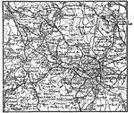
A map of Birmingham, England, and vicinity in 1914, showing major roads, railways, and neighboring cities, towns, and villages....

Dundee, Scotland, 1914
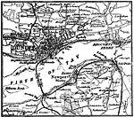
A map of Dundee, Scotland vicinity from 1914. The map shows landmarks of Dundee, railroads and waterways, major roads, bridges and ferry routes across the Firth of Tay, and neighboring cities and towns....

Edinburgh, Scotland, 1914
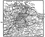
A map of Edinburgh, Scotland in 1914, showing landmarks of the city, parks, railways and stations, port facilities on the Firth of Forth, and neighboring cities and towns, including Granton, Leith, Portobell, Corstorphine, Duddingston, Colinton, and ...

Industry of the British Isles, 1914
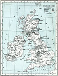
A map from 1914 of the British Isles showing the areas of commercial production including agricultural, fishery, mineral, and manufacturing products. The coalfields of the islands are shown as shaded areas. Major cities, rivers, and coastal features ...

First Previous Next Last


  Maps > Europe > United Kingdom
Site Map  

Maps ETC is a part of the Educational Technology Clearinghouse
Produced by the Florida Center for Instructional Technology © 2009
College of Education, University of South Florida