|
|
|
| Maps > Europe > United Kingdom |
A collection of historic and contemporary maps of England, Scotland, and Wales, including historic divisions, empires and kingdoms, detailed travel maps, climate maps, population density and distribution maps, vegetation maps, and economic/resource maps.
|
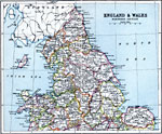
England and Wales - Northern Section,
1910 |
|
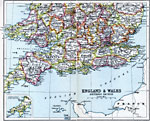
England and Wales - Southern Section,
1910 |
|
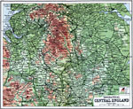
Orographical Central England,
1910 |
|
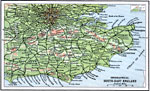
Orographical South-East England,
1910 |
|
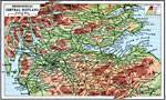
Orographical Central Scotland,
1910 |
|
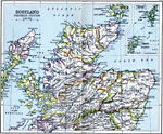
Scotland Northern Section,
1910 |
|
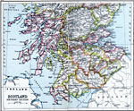
Scotland Southern Section,
1910 |
|
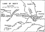
Land of Scott,
1910 |
|
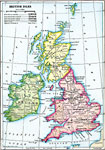
British Isles,
1910 |
|
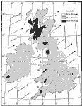
Rainfall of British Isles,
1910 |
| First | Previous | Next | Last |
| Maps > Europe > United Kingdom |
Maps ETC is a part of the Educational Technology Clearinghouse
Produced by the Florida Center for Instructional Technology © 2009
College of Education, University of South Florida