|
|
|
| Maps > Europe > United Kingdom |
A collection of historic and contemporary maps of England, Scotland, and Wales, including historic divisions, empires and kingdoms, detailed travel maps, climate maps, population density and distribution maps, vegetation maps, and economic/resource maps.
|
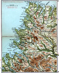
Lairg to Wrath,
1908 |
|
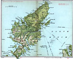
Lewis and Harris,
1908 |
|
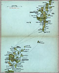
Orkney and Shetland,
1908 |
|
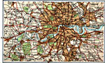
London and Suburbs,
1908 |
|
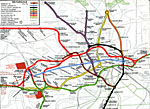
Metropolitan Electric Trams,
1909 |

|
Plan of Central London,
1909 |
|
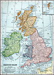
British Isles,
1909 |
|
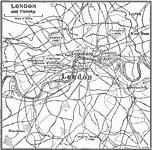
London and Vicinity,
1909 |

|
British Isles Economic - Agricultural Districts,
1910 |
|
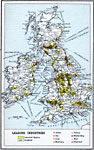
British Isles Economic - Leading Industries,
1910 |
| First | Previous | Next | Last |
| Maps > Europe > United Kingdom |
Maps ETC is a part of the Educational Technology Clearinghouse
Produced by the Florida Center for Instructional Technology © 2009
College of Education, University of South Florida