|
|
|
| Maps > Europe > United Kingdom |
A collection of historic and contemporary maps of England, Scotland, and Wales, including historic divisions, empires and kingdoms, detailed travel maps, climate maps, population density and distribution maps, vegetation maps, and economic/resource maps.
|
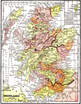
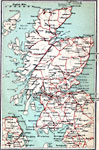
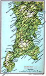
Scotland,
1904 |
|
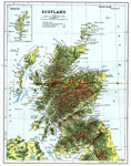
Scotland,
1904 |
|
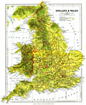
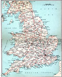
England and Wales,
1904 |
|
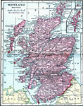
Scotland,
1906 |
|
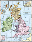
British Isles,
1906 |
|
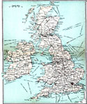
Railways of the British Isles,
1908 |
|
High Roads of England and Wales,
1908 |
|
High Roads of Scotland,
1908 |
|
Cornwall,
1908 |
|
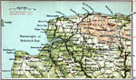
Devon North,
1908 |
| First | Previous | Next | Last |
| Maps > Europe > United Kingdom |
Maps ETC is a part of the Educational Technology Clearinghouse
Produced by the Florida Center for Instructional Technology © 2009
College of Education, University of South Florida