Maps Site map
  Maps > Europe > United Kingdom
Site Map  

  Record   61   to   70  of   228

A collection of historic and contemporary maps of England, Scotland, and Wales, including historic divisions, empires and kingdoms, detailed travel maps, climate maps, population density and distribution maps, vegetation maps, and economic/resource maps.
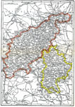
Northampton and Bedford, 1903
A map of the central English counties of Northampton and Bedford in 1903. The map shows cities, the transportation network, and mountain ranges. "Northampton, an inland county of England, is bounded N. by Lincoln, N.W. by Rutland and Leicester, ...

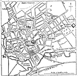
Plan of Northampton, 1903
A map of the English city of Northampton from 1903. The map shows the location of the River Nene, roads, railways and railway stations, churches, parks, municipal buildings, and landmarks....

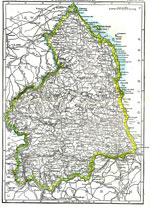
Northumberland, 1903
A map of the English county of Northumberland from 1903, which was once the Kingdom of Northumberland or Northumbria. This map shows cities, mountains, rivers, and the transportation network....

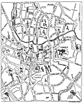
Plan of Norwich, 1903
A plan of Norwich, England, from 1903, the capital of the county of Norfolk. The map shows the location of the River Wensum, roads, railroads, parks, cemetery, the castle, cathedral, churches, and various buildings and other important places....

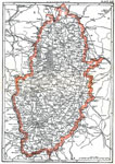
Nottingham, 1903
A map of the English county of Nottingham in 1903 showing cities, rivers, mountains, railroads, and parks. "Nottingham of Notts, an inland county of England, is bounded N. by Yorkshire and Lincolnshire, W. by Derbyshire, S. by Leicestershire, an...

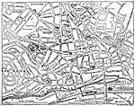
Plan of Nottingham, 1903
A plan of the English city of Nottingham from 1903, showing roads, railways and railway stations, parks, cemeteries, the castle, colleges, churches, museums and various buildings and other important places....

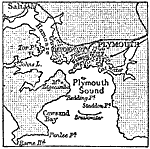
Environs of Plymouth, 1903
A 1903 map of the area around Plymouth, on the southwest coast of England. "Plymouth, a municipal and parliamentary borough and seaport town of Devonshire, England, is picturesquely situated on Plymouth Sound in the south–west corner of th...

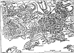
Plan of Plymouth, 1903
A plan of the city of Plymouth from 1903. "Plymouth, a municipal and parliamentary borough and seaport town of Devonshire, England, is picturesquely situated on Plymouth Sound in the south–west corner of the county, at the confluence of th...

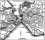
Plan of Portsmouth, England, 1903
A plan of Portsmouth from 1903. The map shows the docks around Portsmouth Harbor, roads, railways and railway stations, parks, and various buildings and other important places. Portsmouth, England was built on its strength as a seaport and naval stat...

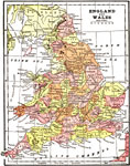
England and Wales, 1904
A map of Great Britain from 1904. "Great Britain – The island now known as Great Britain was known to the ancients previous to the date at which its written history begins, the Phoenicians, Carthaginians and Massilians having visited its s...

First Previous Next Last


  Maps > Europe > United Kingdom
Site Map  

Maps ETC is a part of the Educational Technology Clearinghouse
Produced by the Florida Center for Instructional Technology © 2009
College of Education, University of South Florida