|
|
|
| Maps > Europe > United Kingdom |
A collection of historic and contemporary maps of England, Scotland, and Wales, including historic divisions, empires and kingdoms, detailed travel maps, climate maps, population density and distribution maps, vegetation maps, and economic/resource maps.
|
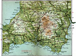
Devon South,
1908 |
|
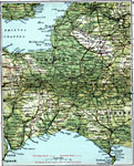
Somerset Dorset,
1908 |
|
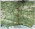
Surrey and Sussex,
1908 |
|
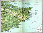
East Kent,
1908 |
|
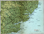
Essex and Suffolk,
1908 |
|
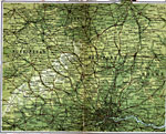
Buckingham and Hertford,
1908 |
|
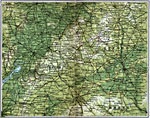
Glouchester and Oxford,
1908 |
|
South Wales,
1908 |
|
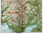
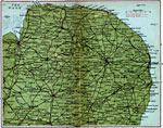
Norfolk County,
1908 |
|
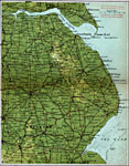
Lincolnshire,
1908 |
| First | Previous | Next | Last |
| Maps > Europe > United Kingdom |
Maps ETC is a part of the Educational Technology Clearinghouse
Produced by the Florida Center for Instructional Technology © 2009
College of Education, University of South Florida