| Maps > South America > Regional Maps |
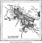 |
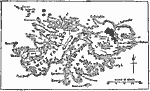
Lake Titicaca, A map of Lake Titicaca, showing Weiner's route. |
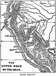 |
Upper Road of the Incas, 1438-1543 a map showing the route of an Incan road. |
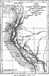 |
Northwestern South America, 1861 A map of northwestern South America, from Brasseur's Popul Vuh. |
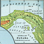 |
Isthmus of Panama, 1901 Physical map of the Isthmus of Panama. |
 |
The Falkland Islands, 1903 A map of the Falkland Islands, located in the South Atlantic and belonging to Great Britain. |
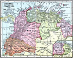 |
Colombia, Ecuador, Venezuela and the Guianas, 1906 Map of Colombia, Ecuador, Venezuela, and the Guianas in 1906. |
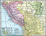 |
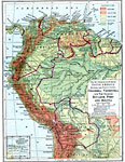
Peru and Bolivia, 1906 Map of Peru and Bolivia in 1906. |
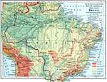 |
Eastern South America, 1916 A physical and political map of eastern South America, with Brazil figuring prominently. |
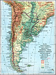 |
Physical and Political Map of Southern South America, 1916 A physical and political map of southern South America, showing Argentina, Chile, Paraguay, Uruguay, and part of Brazil. |
 |
Northwestern South America, 1916 A physical and political map of northwestern South America in 1916. |
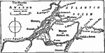 |
Mouths of the Amazon, 1919 A map showing the mouths of the Amazon. |
| Maps > South America > Regional Maps |
Maps is a part of the Educational Technology Clearinghouse
Produced by the Florida Center for Instructional Technology © 2007
College of Education, University of South Florida