Maps Site map
  Maps > United States > Early America 1400-1800
Site Map  

  Record   11   to   20  of   199

A collection of historic maps of early America from explorations and settlements of the English, French, and Spanish, to the end of the American Revolutionary War.
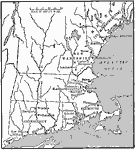
The New England Colonies, 1600s
A map of the New England Colonies of Maine (to Massachusetts), New Hampshire, Massachusetts, Rhode Island, and Connecticut in the 1600's, showing early settlements....

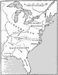
The Location of the Eastern Indian Tribes, 1600s
A map from 1911 of eastern North America showing the general areas of early contact between the Native Americans and European settlers. The map is divided by groups (Algonquians, Iroquoians, Siouans, and Muskhogeans) and the principal representative ...

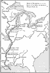
French Explorations and Forts, 1600s
A map of North America showing the routes of early French exploration of the Mississippi Valley from the Great Lakes to the Gulf of Mexico in the 1600's. The map shows the routes of Father Jacques Marquette (with Louis Jolliet) and Robert LaSalle (Re...

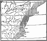
Crown Grants To Trading Companies in North America, 1606
A map of eastern North America showing the land grants of the Plymouth Company and London Company established by charter of King James I in 1606. The map shows the London Company grant, which included Jamestown (1607), extending from 34° N latitu...

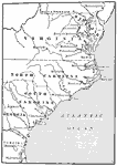
The Southern Colonies, 1606
A map of the Southern Colonies showing the current boundaries of Maryland, Delaware, Virginia, North Carolina, South Carolina, and Georgia, showing early European settlements....

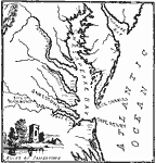
Jamestown and Vicinity, 1607–1609
A map of the Chesapeake Bay and James River area showing the early English settlements of Jamestown (1607) and Richmond (1609)....

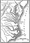
The Chesapeake Bay Settlements of Jamestown and Richmond, 1607–1611
A map of the Chesapeake Bay and Pamlico Sound region showing the early English settlements of Jamestown and the Falls (Richmond). The map shows rivers and coastal features, and the modern State boundaries of Pennsylvania, Delaware, Maryland Virginia,...

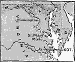
Colonial Maryland and Virginia, 1607–1634
A map of the early colonies of Virginia and Maryland showing the first settlements of Jamestown (1607) and St. Mary's (1634). The future sites of Baltimore (1729) and Washington (1790) are also shown....

The Chesapeake Bay Colonies., 1607–1729
The Chesapeake Bay Colonies....

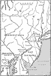
The Middle Colonies, 1609–1702
A map of the Middle Colonies of New Jersey and eastern Pennsylvania, with portions of New York, Maryland and Delaware, showing the early European settlements in the area from 1609 to 1702. The map shows the boundary between West New Jersey and East N...

First Previous Next Last


  Maps > United States > Early America 1400-1800
Site Map  

Maps ETC is a part of the Educational Technology Clearinghouse
Produced by the Florida Center for Instructional Technology © 2009
College of Education, University of South Florida