Maps Site map
  Maps > United States > Pennsylvania
Site Map  

  Record   11   to   20  of   22

Historic and contemporary maps of the Panama Canal Zone, including construction details, for use in the K-12 classroom.

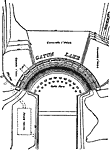
Gatun Dam, Spillway and Locks, 1913
A plan of the Gatun Dam, locks, and spillway on the Panama Canal. The Gatun Dam was constructed from 1907 to 1913. The plan shows the current level of the shoreline and feeding rivers (Chagres River and French Canal), the submerged water course, and ...

Gatun Dam Spillway, 1913
A plan of the Gatun Dam spillway on the Panama Canal. The Gatun Dam was constructed from 1907 to 1913. At the time it was built, it was the largest earth dam in the world and Gatun Lake was the largest man made lake in the world....

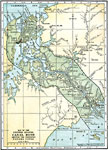
United States Canal Zone, 1914
United States Canal Zone, showing the completed Panama Canal....

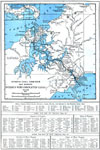
Isthmus with Completed Panama Canal, 1914
A map from 1914 of the completed canal across the Isthmus of Panama. The map shows the Caribbean Sea entrance at Colon, the route of the canal through Gutan Lake and lock system, the Pacific entrance at the city of Panama, the Canal Zone boundary wit...

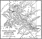
Panama Canal Zone, 1915
The Panama Canal Zone and route of the Panama Canal. The Panama Railroad line between Colon and Panama City is shown, as well as he Gantun locks, Pedro Miguel locks, and the Miraflores locks. Natural features include Limon Bay, Gatun Lake, and the co...

Panama Canal Zone, 1916
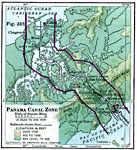
A map from 1916 of the Panama Canal Zone showing the physical features of the area, including terrain and mountains, rivers, lakes, the continental divide, and coastal features. The map uses color–contouring to show elevations from sea level to...

The Panama Canal, 1919
A map from 1919 of the Panama Canal Zone showing the completed canal, the Panama Railway, the locks, breakwaters and dams, the Caribbean entry at Colon and Pacific entry at the City of Panama, the boundary with the Republic of Panama, the continental...

The Panama Canal, 1920
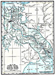
A map from 1920 of the Panama Canal showing the channel route from Colon to the city of Panama with the miles given along the route from Colon, railroad route, lakes, reservoirs, the Gatun dam, locks, and towns along the canal. The map is color&ndash...

Panama Canal, 1920
A map from 1920 of the Panama Canal showing the Canal Zone boundaries, the channel route from Colon to the city of Panama, railroad route, lakes, reservoirs, locks, and towns along the canal. A chart at the top of the map shows the comparative port t...

Panama Canal Zone, 1920
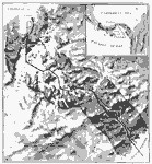
A relief map from 1920 of the Panama Canal Zone showing terrain features, lakes, feeding rivers, the channel route, dams, locks, railroad, and entrance cities. The Canal Zone is shaded darker, and an inset map shows the entire isthmus with the Canal ...

First Previous Next Last


  Maps > United States > Pennsylvania
Site Map  

Maps ETC is a part of the Educational Technology Clearinghouse
Produced by the Florida Center for Instructional Technology © 2009
College of Education, University of South Florida