|
|
|
| Maps > United States > Regional Maps >Miscellaneous United States |
|
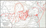
Routes of the Underground Railroad,
1830–1865 |
|
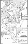
United States Coast Guard Cruising Grounds,
1886 |
|
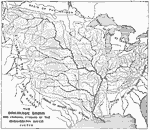
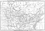
Drainage Basin and Principal Streams of the Mississippi River System,
1888 |
|
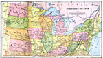
Northern Section,
1897 |

|
Mississippi River System,
1901 |
|
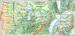
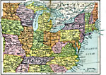
The Northern United States,
1901 |
|
The Glaciated Region of the United States,
1901 |
|
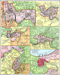
Principal River Ports of the United States,
1901 |
|
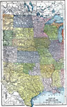
The Central States,
1903 |
|
Northern United States,
1920 |
| Maps > United States > Regional Maps >Miscellaneous United States |
Maps
is a part of the
Educational Technology Clearinghouse
Produced by the
Florida Center for Instructional Technology
© 2009
College of Education
,
University of South Florida