|
|
|
| Maps > United States > Regional Maps >New England States |
|
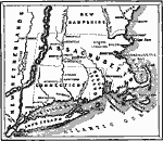
United Colonies of New England,
1643 |
|
New England,
1652 |

|
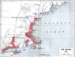
Frontier Warfare of New England,
1689–1713 |
|
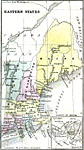
Eastern States,
1859 |
|
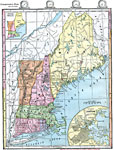
New England States,
1872 |
|
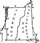
Drawing New Hampshire and Vermont,
1872 |
|
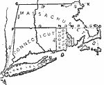
Drawing Massachusetts, Connecticut, and Rhode Island,
1872 |

|
Relief of New England,
1872 |
|
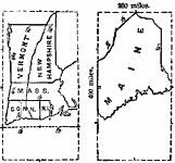
Size Comparisons of New England States,
1872 |
|
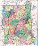
New Hampshire and Vermont,
1872 |
| Next | Last |
| Maps > United States > Regional Maps >New England States |
Maps
is a part of the
Educational Technology Clearinghouse
Produced by the
Florida Center for Instructional Technology
© 2009
College of Education
,
University of South Florida