Maps Site map
  Maps > Africa > A Complete Map of Africa
Site Map  

  Record   71   to   80  of   86

Historic and contemporary maps of Africa, including political and physical maps, pre-colonial and colonial maps, climate maps, relief maps, population density and distribution maps, vegetation maps, and economic/resource maps.
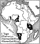
World War I: African Colonies Lost by Germany, 1916
This map shows the African colonies lost by Germany in 1916 during World War I. "At the beginning of 1916 only two colonies remained to Germany, Kamerun and German East Africa. Kamerun was completely overrun by Belgian, British and French troops...

Post-WWI Africa, 1918
This map is of Africa after World War I. The scramble by Italy, Belgium, and Germany to create colonies in order to keep up with the British, French, and Spanish Empires was played out in Africa, the last remaining continent yet to be completely divi...

Africa After WWI, 1919
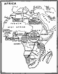
A map of all German colonies and possessions in Africa ceded to the Allies in the Treaty of Versailles at the close of WWI....

Africa, 1919
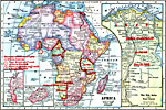
A map from 1919 of Africa showing the territorial changes made after World War I. The map shows the areas ceded by Germany, including Togo and Kamerun to be decided by British and French mandate, German East Africa under British mandate, and German S...

Africa, 1920
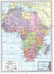
A map of Africa in 1920 showing colonial possessions of the British, French, Italian, Portuguese, Spanish, and Belgians, including the former German colonies, lost after WWI, to French and British control per the Treaty of Versailles. This map shows ...

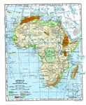
Natural Regions of Africa, 1920
A map from 1920 of Africa and Madagascar showing principal physical features and natural regions. The map is color–coded to show lowlands, uplands and plateaus, the Kongo basin, the older, worn down mountains, and young, rugged mountains. The m...

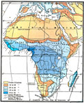
Annual Rainfall in Africa, 1920
A map from 1920 of Africa and Madagascar showing the mean annual rainfall distribution given in inches, seasonal variations in precipitation, and seasonal costal wind direction. The map is color–coded to show annual precipitation ranging from u...

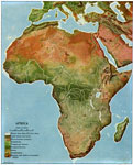
Land Regions of Africa, 1920
A color relief map of the African continent showing regional vegetation and terrain including lands below sea level, grasslands, temperate and tropical forests, oases, semideserts, and deserts and barren mountain slopes. The map also shows wet weathe...

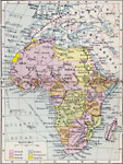
Post-WWI Africa, 1920
A map of Africa in 1920 showing colonial possessions of the British, French, Italian, Portuguese, Spanish, and Belgians, including the former German colonies, lost after WWI, per the Treaty of Versailles. This map shows major cities and trade centers...

Post-WWI Africa, 1920
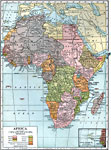
A political map of Africa in 1920 showing colonial possessions of the British, French, Italian, Portuguese, Spanish, and Belgians, including the former German colonies, lost after WWI, per the Treaty of Versailles. This map also shows the Caprivi Str...

First Previous Next Last


  Maps > Africa > A Complete Map of Africa
Site Map  

Maps ETC is a part of the Educational Technology Clearinghouse
Produced by the Florida Center for Instructional Technology © 2009
College of Education, University of South Florida