Record
31 to
40 of
121
Historic and contemporary maps of Europe, including physical and political maps, early history and empires, WWI maps, climate maps, relief maps, vegetation maps, population density and distribution maps, cultural maps, and economic/resource maps.
|
Europe,
1880
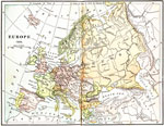
A map of Europe in 1880 after the establishment of the New German Empire. Shows the location of political borders as well as cities, waterways, and mountain ranges....
|
|
Europe,
1882
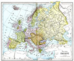
A map of Europe in 1882 showing the German Empire, The Austrian–Hungarian Monarchy, and the Turkish Empire, including major cities, rivers, and other landforms....
|
|
Europe and Western Asia,
1883
A map from 1883 of Europe and western Asia showing country borders and capitals, principal cities, mountain systems, and rivers....
|
|
Europe,
1885
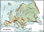
A map of Europe showing major mountain ranges, rivers, and other landforms....
|
|
Europe,
1885
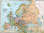
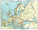
A Map of Europe in 1885. Map is color–coded to differentiate between the various countries and includes major cities, railroads, and major rivers....
|
|
Europe,
1888
A map showing country boundaries of Europe as they existed in 1888, including major cities, rivers, and landforms. This map highlights the significance of the use of natural boundaries (rivers and mountains) over cadastral (surveyed or lat/long lines...
|
|
Relief Map of Europe,
1890
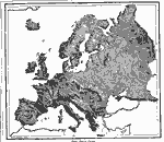
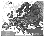
"The relief–forms of Europe are vastly more complicated than those of either the Americas, Africa, or Australia. The general trend of the greatest mountain–chains is east and west, but the earth's crust has here been so crumpled that...
|
|
Europe,
1897
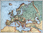
A relief map of Europe showing major landforms and rivers....
|
Maps ETC is a part of the Educational Technology Clearinghouse
Produced by the Florida Center for Instructional Technology © 2009
College of Education, University of South Florida