Maps Site map
  Maps > Europe > Complete Maps
Site Map  

  Record   61   to   70  of   121

Historic and contemporary maps of Europe, including physical and political maps, early history and empires, WWI maps, climate maps, relief maps, vegetation maps, population density and distribution maps, cultural maps, and economic/resource maps.

Central Europe, 1906
A physical map of pre–WWI Central Europe, including major rivers, major cities, and capitals....

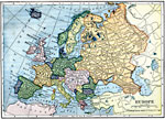
Europe, 1909
A map of the political boundaries in Europe as they existed in 1909, including the German Empire and Austria–Hungary. This map also shows major cities and railroad routes....

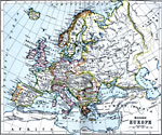
Modern Europe, 1910
A map of Europe, as it was in 1910, showing country borders, major rivers, cities, and historic battle sites....

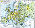
Economic Map of Europe, 1910
A map showing the chief industries and industrial districts, coal fields, agricultural and fishing districts, major cities, navigable rivers and principal railways throughout Europe in 1910. Chief industries are indicated by letter, with (C) for cott...

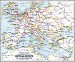
Principal Railway and Steamship Routes in Central Europe and the Mediterranean, 1910
Map shows principal railways and steamship routes throughout Central Europe and the Mediterranean Sea in 1910. This map also shows major cities and rivers, and uses the Mercator's Projection....

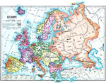
Europe, 1910
A map of the political boundaries in Europe as they existed in 1910, including the German Empire and Austria–Hungary. ...

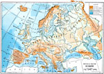
Physical Map of Europe, 1910
A physical map of Europe showing elevations, major land forms, rivers, and bodies of water....

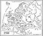
Coalfields of Europe, 1910
An outline map from 1910 of the principal coal fields of Europe....

Europe Density of Population, 1910
A map from 1910 of population density in Europe, keyed to show area density ranges from under 2 to over 512 inhabitants per square mile, and cities with over 500,000 inhabitants....

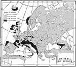
Rainfall Map of Europe, 1910
A precipitation map of Europe showing the averaged annual rainfall of the region measured in inches, and showing areal measurements ranging from under 10 inches to over 40 inches of rainfall per year....

First Previous Next Last


  Maps > Europe > Complete Maps
Site Map  

Maps ETC is a part of the Educational Technology Clearinghouse
Produced by the Florida Center for Instructional Technology © 2009
College of Education, University of South Florida