Maps Site map
  Maps > Europe > Complete Maps
Site Map  

  Record   51   to   60  of   121

Historic and contemporary maps of Europe, including physical and political maps, early history and empires, WWI maps, climate maps, relief maps, vegetation maps, population density and distribution maps, cultural maps, and economic/resource maps.
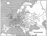
Map of Railroads in Europe, 1901
A sketch map from 1901 of Europe showing the railway network of the region at the time. The relationship between the manufacturing districts of Europe and the railroads can be seen, as well as the mountain barriers and mountain passes....

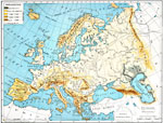
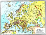
Physical Features of Europe, 1901
A map from 1901 of Europe, showing the physical features of the region. This map is color–coded to show general elevations from sea level to over 6,500 feet, mountain systems, drainage divides, lakes, rivers, coastal features, and the major oce...

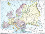
Europe, 1901
A map from 1901 of Europe, showing the political boundaries at the time, capitals and other major cities, mountain and terrain features, lakes, rivers ,islands, and coastal features of the region. The physical division between Europe and Asia is give...

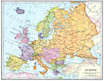
Europe, 1902
A map showing country boundaries of Europe as they existed in 1900, including major cities, rivers, and railroad routes. ...

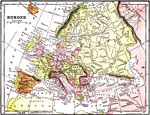
Map of Europe, 1903
A map of Europe as it was in 1903, showing country borders, major cities, railroad routes, and major rivers....

Europe, 1904
"Europe – Greece has the honor of being in the van of European civilization and power, but in the seventh century before Christ a rival sprang up in Italy, which in the course of time attained such vigor that Greece at last was humbled to ...

Europe, 1904
A geo–political map of Europe that shows country borders current to 1904, and major cities. Physical features such as mountain ranges, major rivers and watersheds, and continental shelf boundaries with bathysphere soundings in fathoms are also ...

Land Elevations of Europe, 1906
A physical map of Europe showing land elevations from below sea level, lowlands, elevations over 1,000 feet, and elevations over 4,000 feet. Plains, highlands, major rivers, and political divisions are shown....

Europe, 1906
A map showing country boundaries of Europe as they existed in 1906, including major cities and rivers. This map also includes an outline map of Pennsylvania for area size comparison. ...

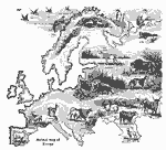
Animals of Europe, 1906
A pictorial map of Europe showing typical animals found in the various regions....

First Previous Next Last


  Maps > Europe > Complete Maps
Site Map  

Maps ETC is a part of the Educational Technology Clearinghouse
Produced by the Florida Center for Instructional Technology © 2009
College of Education, University of South Florida