Maps Site map
  Maps > Europe > Regional Maps >Western and Central Europe
Site Map  

  Record   31   to   40  of   121

Regional European maps of the Western and Central Europe region from the Maps ETC collection. This includes physical and political maps, early history and empires, WWI maps, climate maps, relief maps, vegetation maps, population density and distribution maps, cultural maps, and economic/resource maps.
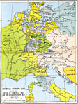
Central Europe after the Peace of Luneville and the Secularisations, 1803
A map of Central Europe in 1803, after the peace of Lunevlle in 1801 between the French Republic and the Holy Roman Empire, and the Secularizations of 1803 by Bonaparte and Talleyrand. This is the Europe just prior to the outbreak of the Napoleonic W...

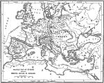
Sketch Map of Europe Showing Principal Battles of Napoleon, 1804–1815
A map of Europe (excluding Scandinavia) showing the principal campaigns and battles of Napoleon. The routes he traveled are indicated on the map. "From the coronation of Napoleon in 1804 until his final downfall in 1815, the tremendous struggle ...

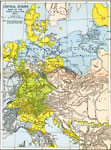
Central Europe during the Wars of the Third Coalition, 1805–1807
A map showing Central Europe during the Napoleonic Wars, subtitled "Wars of the Third Coalition 1805–1807." The political boundaries reflect the dissolution of the Holy Roman Empire in 1806. Map is color–coded to show various gr...

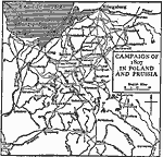
Campaign in Poland and Prussia, 1807
A map of Poland and Prussia in 1807 at the time of the War of the Fourth Coalition between the French Empire under Napoleon Bonaparte and the coalition forces of Prussia, Russia, Saxony, Sweden, and the United Kingdom. The map shows routes and import...

Central Europe, 1810
A map of Central Europe in 1810 during the Napoleonic Wars showing the borders of France, the Confederation of the Rhine, Denmark and Norway, Pomerania, Prussia, Warsaw, Austria–Hungary, the Turkish territories of Bosnia, Servia, Wallachia, Alb...

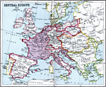
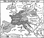
The Empire of Napoleon, 1810
A map of Europe showing the empire of Napoleon, during the Napoleonic Wars around 1810, including lands under direct control (Empire of France, Kingdom of Italy, Illyrian Provinces, Corsica, Corfu, and the Netherlands) and the subject states of Spain...

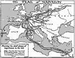
The Trail of Napoleon, 1810
A map of Europe showing the chief places and routes of importance in the life of Napoleon Bonaparte, including his birthplace in Corsica (1769), entered the French Artillery in Paris (1785), 'Whiff of grapeshot' (dispersal of Royalist mob in Paris, 1...

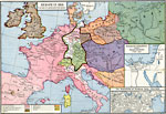
Europe in the Time of Napoleon, 1810
A map of Europe in 1810, subtitled "The Age of Napoleon the Great." This map is color–coded to show the territories and possessions in Europe of the time, including the French Empire, the states ruled by Bonaparte, the Confederation o...

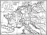
Central Europe, 1810
A map of central Europe during the time of Napoleon. The map shows the location of the French Empire and its dependent states. Also shows areas under Austrian, Prussian, Swedish, and Savoyard rule. This map shows the expanded French Empire after the ...

Europe Under Napoleon, 1810
This map of Europe illustrates the extent of Napoleon's domain in 1810. The map is color–coded to show the French lands at the time of Bonaparte's ascension to power in 1799, the lands acquired by Napoleon, and the lands under his protection as...

First Previous Next Last


  Maps > Europe > Regional Maps >Western and Central Europe
Site Map  

Maps is a part of the Educational Technology Clearinghouse
Produced by the Florida Center for Instructional Technology © 2009
College of Education , University of South Florida