|
|
|
| Maps > Europe > United Kingdom |
A collection of historic and contemporary maps of England, Scotland, and Wales, including historic divisions, empires and kingdoms, detailed travel maps, climate maps, population density and distribution maps, vegetation maps, and economic/resource maps.
|
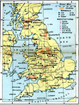
United Kingdom Industries,
1920 |
|
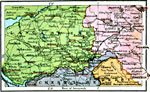
Lancashire and Yorkshire Manufacturing District,
1920 |
|
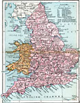
England and Wales: Railways,
1920 |
|
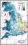
England and Wales: Climate,
1920 |
|
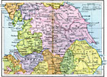
England Plate I,
1920 |
|
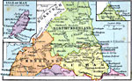
England Plate II,
1920 |
|
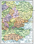
England Plate III,
1920 |
|
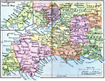
England Plate IV,
1920 |
|
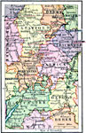
England Plate V,
1920 |
|
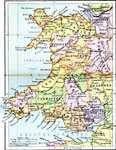
Wales,
1920 |
| First | Previous | Next | Last |
| Maps > Europe > United Kingdom |
Maps ETC is a part of the Educational Technology Clearinghouse
Produced by the Florida Center for Instructional Technology © 2009
College of Education, University of South Florida