| Maps > United States > Alaska |
 |
Alaska, Map showing Alaska. |
 |
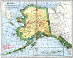
Map of Alaska, Map of Alaska. |
 |
Map of the Klondike Gold Diggings and vicinity, 1865-1898 Map showing the Klondike Gold Diggings and vicinity. |
 |
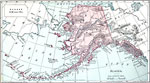
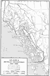
Purchase of Alaska, 1867 A map showing the purchase of Alaska, in 1867. |
 |
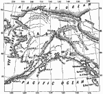
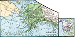
Alaska Boundary Controversy, 1867-1903 A map showing the border dispute in Alaska between the United States and Great Britain. |
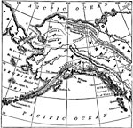 |
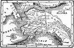
Alaska, 1873 Alaskan Map with mountain ranges, rivers and islands. |
 |
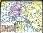
Alaska, 1890 Map of Alaska. |
 |
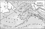
Alaska, 1906 Map of Alaska in 1906. |
 |
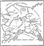
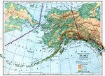
Alaska, 1906 Physical map of Alaska and the Aleutian Islands. |
 |
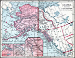
Alaska, 1910 A map of the state of Alaska. |
 |
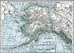
Alaska, 1916, 1916 A physical and political map of Alaska from 1916. |
 |
Alaska, 1919 A map showing the state of Alaska in 1919. |
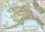 |
Alaska, 1920 Map of Alaska. |
 |
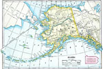
Alaska, 1920 Physical map of Alaska, with a map insert of the Aleutian Islands. Includes railroads, as well as overland and submarine telegraph lines. |
 |
Alaska, 1920 Alaska, showing railroads, and overland and submarine telegraph lines. |
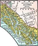 |
South Eastern Part of Alaska, 1920 Southeastern part of Alaska. |
 |
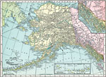
Alaska, 1920 Map of Alaska. |
 |
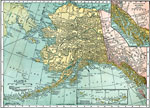
Alaska, Post World War I Map of Alaska. |
| Maps > United States > Alaska |
Maps is a part of the Educational Technology Clearinghouse
Produced by the Florida Center for Instructional Technology © 2007
College of Education, University of South Florida