|
|
|
| Maps > United States > Early America 1400-1800 |
A collection of historic maps of early America from explorations and settlements of the English, French, and Spanish, to the end of the American Revolutionary War.
|
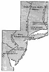
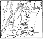
New Netherlands, New Sweden, and New England,
1614–1664 |
|
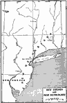
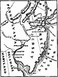
New Sweden and New Netherland,
1614–1664 |
|
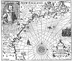
Smith's Map of New England,
1616 |
|
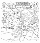
From the Figurative Map,
1616 |
|
The Early European Settlements of Pennsylvania and New Jersey,
1617–1683 |
|
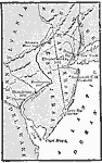
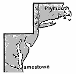
Jamestown and Plymouth,
1620 |
|
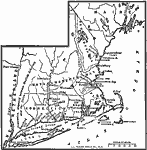
New England Colonies,
1620–1638 |
|
New England Colonies,
1620–1641 |
|
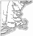
The Chief Settlements made in New England,
1620–1675 |
|
Middle Colonies,
1620–1702 |
| First | Previous | Next | Last |
| Maps > United States > Early America 1400-1800 |
Maps ETC is a part of the Educational Technology Clearinghouse
Produced by the Florida Center for Instructional Technology © 2009
College of Education, University of South Florida