| Maps > Europe > Italy |
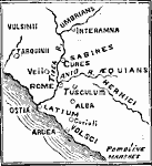
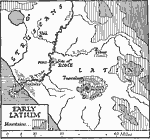 | Early Latium, A map showing early Latium, and the site of Rome. |
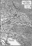 | Italian Irredenta, A map showing part of the Italian Irredenta. |
 | Italy, Map of European countries showing borders and boundaries after World War I. |
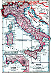
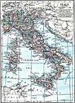
 | Italy, Map shows Italy. |
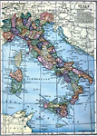 | Italy, Map of Italy. |
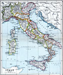
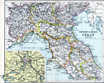
 | Italy, A map of Italy, showng railroads, cities, and provinces. |
 | Italy Divided by Augustus into Eleven Regions, |
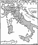 | Kingdom of Italy, 1861, A map of the kingdom of Italy in 1861. |
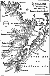 | Naples, A map of the Bay of Naples. |
 | Northern & Central Italy, Map shows northern & central Italy. |
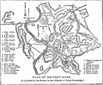 | Plan of Ancient Rome, A map of the plan of Ancient Rome, as published by the Society for the Diffusion of Useful Knowledge. |
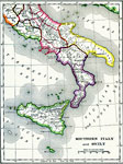 | Southern Italy and Sicily, A map of Southern Italy and Sicily. |
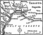 | Taranto, Taranto is a fortified seaport of southern Italy, in the province of Lecce, on a rocky peninsula at the northern extremity of the gulf of the same name. |
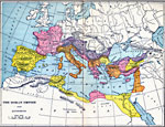 | The Roman Empire Under Augustus, |
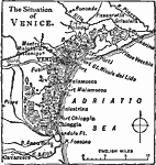
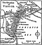 | The Situation of Venice, Italy, Venice, Italy and the surrounding area. |
 | Venice, A map showing the region around Venice, Italy. |
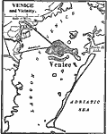 | Venice and Vicinity, A map of Venice, Italy and the surrounding area. |
 | Vicinity of Rome, A map showing the vicinity of Rome. |
| Maps > Europe > Italy |
Maps is a part of the Educational Technology Clearinghouse
Produced by the Florida Center for Instructional Technology © 2007
College of Education, University of South Florida