|
|
|
| Maps > Europe > United Kingdom |
A collection of historic and contemporary maps of England, Scotland, and Wales, including historic divisions, empires and kingdoms, detailed travel maps, climate maps, population density and distribution maps, vegetation maps, and economic/resource maps.
|
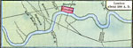
Saxon London,
AD 800 |
|
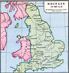
Britain,
AD 827 |
|
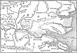
London Area,
AD 827–1066 |
|
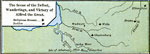
The Scene of the Defeat, Wanderings, and Victory of Alfred the Great,
AD 871–899 |
|
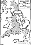
England,
AD 878 |
|
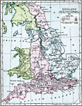
England After the Treaty of Chippenham,
AD 878 |
|
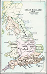
Saxon England,
AD 900 |
|
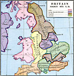
Britain,
AD 975 |
|
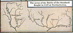
The Scene of the Battle of the Standard fought at Northallerton,
August 22, 1138 |
|
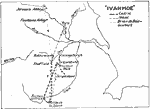
Ivanhoe,
Circa 1150 to 1200 |
| First | Previous | Next | Last |
| Maps > Europe > United Kingdom |
Maps ETC is a part of the Educational Technology Clearinghouse
Produced by the Florida Center for Instructional Technology © 2009
College of Education, University of South Florida