Maps Site map
  Maps > United States > Growth of Nation
Site Map  

  Record   51   to   60  of   120

A collection of historic maps of territorial acquisitions and growth of the United States for use in the K-12 classroom.

States and Territories in the South and West, 1812
The states and territories in the south and west in 1812. ...

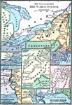
War of 1812, 1812
A series of maps showing the principal campaigns, forts, and battle sites of the War of 1812, including: a map of the northern seat of war in the Great Lakes region of Canada, New York, Pennsylvania, Ohio, and the Michigan Territory; a map of the Ch...

The Battle of Lake Erie, 1812
A map of Lake Erie showing the site at the western end of the lake of the Battle of Put–in–Bay on September 10, 1813 between the United States Navy under Oliver Perry and the British Royal Navy....

The War of 1812, 1812–1814
A series of maps showing the principal regions, campaigns, forts, and battle sites of the War of 1812, including: the northern seat of war in southern Canada, New York, Pennsylvania, Ohio, and the Michigan Territory; the vicinity of Detroit; the vici...

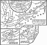
Northern Region of the War of 1812, 1812–1814
A series of maps showing the northern campaigns, forts, and battle sites during the War of 1812, including details of the campaigns of the Army of the Centre (Lundy's Lane, Beavers Dam, and Burlington Heights), campaigns of the Army of the West (Fort...

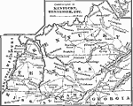
Campaigns in Kentucky and Tennessee, 1812–1814
A map of Kentucky, Tennessee, northern Mississippi, Alabama, and Georgia, showing the battle sites and routes of campaigns during the War of 1812. The map shows rivers and mountains, cities and towns, and forts in the area. An inset map details the a...

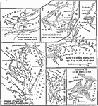
Southern Region of the War of 1812, 1812–1815
A series of maps showing the principal campaigns, forts, and battle sites during the War of 1812, including details of the campaigns of the Army of the West (Fort Stephenson, Fort Meigs, Perry's victory on Lake Erie, and the Battle of the Thames Rive...

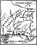
Seat of the Creek War, 1813
A map of the Mississippi Territory at the time of the Creek War between the Creek Nation (Muscogee) and the Cherokees, Choctaws, and eventually the United States (1813–1814). The map shows the U.S. forts in the area (Armstrong, Strother, and Mi...

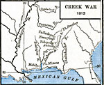
Creek War, 1813
A map of the southern United States showing the area and battle sites of the Creek War of 1813, also known as the Red Stick War. The map shows the Upper Creek territory along the Alabama and Tallapoosa rivers, Fort Mimms near the Battle of Burnt Corn...

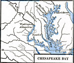
Chesapeake Bay, 1813–1814
A map of the upper Chesapeake Bay area showing important sites during the War of 1812, including the British landing site at Benedict on their campaign to capture Washington, the site of the Battle of Bladensburg, Washington, and Fort McHenry at the ...

First Previous Next Last


  Maps > United States > Growth of Nation
Site Map  

Maps ETC is a part of the Educational Technology Clearinghouse
Produced by the Florida Center for Instructional Technology © 2009
College of Education, University of South Florida