|
|
|
| Maps > Globes and Multi-continent > Complete Maps |
A collection of world and multi-continent maps, including various projections, hemispheric maps, physical and political maps, early known world maps, climate maps, relief maps, ocean current maps, population density and distribution maps, vegetation maps, and economic/resource maps.
|
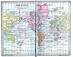
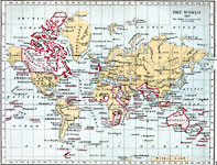
The Political Divisions of World,
1906 |
|
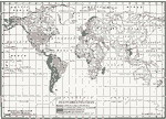
The World on Mercator's Projection,
1906 |
|
The World on Mercator's Projection,
1906 |
|
The World on Mercator's Projection,
1906 |
|
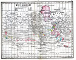
Aclinic Zones,
1906 |

|
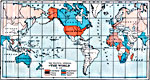
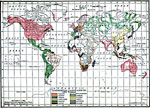
British Possessions ,
1906 |
|
World Map,
1907 |
|
State Organizations,
1909 |
|
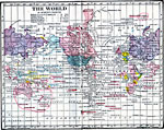
Commercial Languages of the World,
1909 |
|
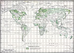
Timber Supply of the World,
1909 |
| First | Previous | Next | Last |
| Maps > Globes and Multi-continent > Complete Maps |
Maps ETC is a part of the Educational Technology Clearinghouse
Produced by the Florida Center for Instructional Technology © 2009
College of Education, University of South Florida