| Maps > United States > Northwest Region |
 |
United States showing important commercial routes, 1902 Map of the United States showing important commercial routes. |
 |
Water Routes and Portages, A map of water routes and portages in the northeastern United States. |
 |
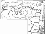
The Route of the Cumberland Road, 1806 Map showing the route of the Cumberland Road, showing its later extension across Illinois. |
 |
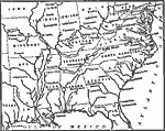
The Route of the Erie Canal showing the line of transportation from Lake Erie to New York City, 1815-1825 Map showing the route of the Erie Canal. |
 |
Navigvable Rivers, 1820 Map showing navigable rivers in the United States in about 1820. |
 |
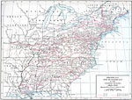
Transportation between the East and West during the Canal Era, 1825-1850 Map showing Transportation between the East and West during the Canal Era (1825-1850). |
 |
Transportation Routes in the US, 1826-1830 A map of highways and waterways in the United States, 1826-1830. |
 |
Routes of the Underground Railroad, 1830-1865 A map showing the routes of the Underground Railroad, 1830-1865. |
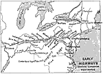 |
Early Highways, 1840 Maps and plans of notable battles and districts connected with famous authors and their books: This maps shows early highways expanding westward. |
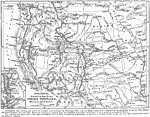 |
Itineraries described in Capt. Marcy's Prairie Traveller, 1843-1868 Map of system of overland roads between the Mississippi River and the Pacific Ocean, over which moved the migrations to the far West during the period between 1843 and 1868. |
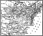 |
Transportation between the East and West after the building of the Trunk Lines, 1850 Map showing Transportation between the East and West after the building of the Trunk Lines |
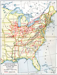 |
Railroad Lines, 1860 Railroad lines in actual operation in October of 1860. |
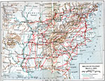 |
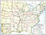
Means of Transit, April 3, 1861 A map showing means of transit in the eastern United States in 1861. |
 |
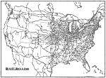
Trunk Line Railway Systems, 1875 A map of the trunk line railway systems in the United States, disregarding minor branches. |
 |
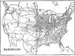
Railroads, 1898 AD A map of Railroads in the contiguous 48 states as of 1898 AD. "Nearly half of the world's length of railroad is in the United States." &mdashRedway, 1898. |
 |
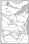
United States Railroads, 1901 Railroads in the United States. |
 |
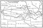
Long Distance Routes out of Chicago, "Chicago, Northwest to Duluth, Minn. And Fargo, Dak. and west to Sioux City and Omaha and return, without a double."—Reference Book (and Key) Containing Ratings of Merchants, Manufacturers and Traders Generally, throughout the United States & Canada, 1902 |
 |
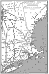
Long Distance Routes from St. Louis to Denver, "From St. Louis to Denver and Return. Including the most important towns and direct routes, without a double."—Reference Book (and Key) Containing Ratings of Merchants, Manufacturers and Traders Generally, throughout the United States & Canada, 1902 |
 |
Long Distance Routes between New York and Boston, "New York to Boston and return. A continuous route without a double. Through Mass., Conn., and R.I. Also long distance route from Bennington, Vt., to Bangor, Me. Showing all towns of importance en route, a direct line."—Reference Book (and Key) Containing Ratings of Merchants, Manufacturers and Traders Generally, throughout the United States & Canada, 1902 |
 |
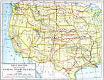
Long Distance Routes between Boston and San Francisco, 1902 "From Boston to San Francisco, showing 50 of the best business cities in the United States."—Reference Book (and Key) Containing Ratings of Merchants, Manufacturers and Traders Generally, throughout the United States & Canada, 1902 |
 |
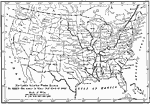
Rail Routes in the West, 1906 A map showing rail routes competing with the future ithmian canal (1906). |
 |
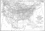
Interior Water Routes of the United States, 1910 A map to show the navigable interior water routes of the United States in 1910. |
 |
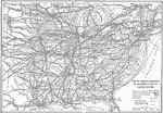
Railroads in United States, 1910 AD A map showing the railroads of the United States and connecting steamship lines. |
 |
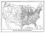
Railroads in the Eastern United States, 1910 A map showing trunk line railroads in the eastern United States, as well as steamship routes. |
 |
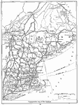
Railroads of the United States, 1916 A map showing the railroad networks in the United States in 1916. |
 |
Transportation Map of New England, 1916 A transportation map of New England in 1916. |
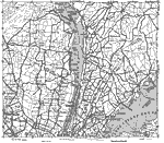 |
Road Map of New England, 1919 A 1919 road map showing part of New England. |
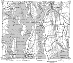 |
Coastal Connecticut and Rhode Island, 1919 A road map of coastal Rhode Island and Massachusetts in 1919 |
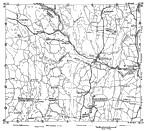 |
Massachusetts and Connecticut, 1919 A road map showing parts of Massachusetts and Connecticut from 1919. |
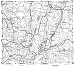 |
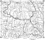
New York and Massachusetts, 1919 A road map of New York and Massachusetts in 1919. |
 |
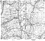
Massachusetts, 1919 A 1919 map of part of northern Massachusetts. |
 |
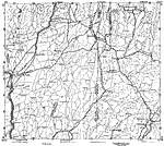
New York and Vermont, 1919 A 1919 road map showing part of New York and Vermont. |
 |
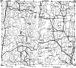
New York and Vermont, 1919 A 1919 road map showing parts of New York and Vermont. |
 |
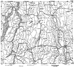
New Hampshire, 1919 A map of New Hampshire from 1919. |
 |
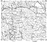
Vermont and New York, 1919 A map showing part of the border region around New York and Vermont in 1919. |
 |
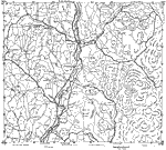
Maine and New Hampshire, 1919 A map showing part of Maine and New Hampshire in 1919. |
 |
Vermont and New Hampshire, 1919 A 1919 map showing part of the Vermont and New Hampshire border. |
| Maps > United States > Northwest Region |
Maps is a part of the Educational Technology Clearinghouse
Produced by the Florida Center for Instructional Technology © 2007
College of Education, University of South Florida