Maps Site map
  Maps > United States > Civil War
Site Map  

  Record   81   to   90  of   137

A collection of historic maps of the American Civil War, including regional seats of the war, battle and campaign maps, and territories held by Confederate and Union forces.

Vicksburg and Vicinity, 1863
A map of the vicinity of Vicksburg during the American Civil War. "Vicksburg, a city and port of Mississippi, on the Mississippi River, 408 m. N. of New Orleans, 441/2 W. of Jackson, built on a collection of high bluffs. It is the chief town bet...

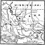
Operation in Louisiana, 1863
A map of the vicinity of New Orleans showing operations in Louisiana during the American Civil War, from February to July, 1863. The map covers the area from New Orleans west to New Iberia and north to the Mississippi State Line, showing Baton Rouge ...

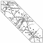
Campaign Between Nashville and Atlanta, 1863–1864
A map of the parts of Tennessee, Alabama, and Georgia showing the main locations of the campaign between Nashville and Atlanta during the American Civil War (1863–1864). The map shows the cities and towns of Nashville, Franklin, Murfreesboro, C...

Gulf Campaigns of the Civil War, 1863–1865
A map of the Gulf Coast from the Mississippi Delta to Pensacola showing the area of the Gulf Campaigns during the Civil War, from 1863 to 1865. The map shows rivers, coastal features, the 100 foot elevation contour, railroads, forts, and the cities o...

The Battle of Cold Harbor, 1864
A map of the region near Cold Harbor, Virginia, site of the Battle of Cold Harbor from May 31–June 12, 1864....

Atlanta to Savannah, 1864
A map of part of Georgia in 1864 showing the area of the march by Sherman from Atlanta to Savannah. The map shows cities and towns, roads, railroads, rivers, and coastal features in the area from Decatur to Savannah, including Macon, Augusta, Charles...

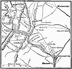
General Early's Maryland Campaign, 1864
A map of the area of the northern Valley Campaign (1864) under Confederate General Jubal Anderson Early from Harper's Ferry to Washington. The map shows the general locations of the Battle of Monocacy Junction (July 9), Battle of Fort Stevens on the ...

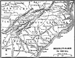
Sherman's March to the Sea, 1864
A map of Georgia, South Carolina, and North Carolina showing the routes of Union General Sherman's ‘March to the Sea’ from Atlanta to Savannah (November 15 to December 21, 1864), and his march to Raleigh. The map shows state capitals, inc...

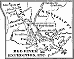
Red River Expedition, 1864
A map of the Red River area of Louisiana, showing the operations during the Red River Campaign of 1864 during the American Civil War (March 10 to May 22). The map shows the route of General Banks from New Orleans west to Brashean (Brashear, now Morga...

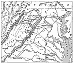
Valley of Virginia, 1864
A map of the Valley of Virginia (Shenandoah), showing the site of Lynchburg on the eastern side of the Blue Ridge mountains, and the area of Confederate General Early's march down the Shenandoah to Harpers Ferry in 1864 in his attempt to take Washing...

First Previous Next Last


  Maps > United States > Civil War
Site Map  

Maps ETC is a part of the Educational Technology Clearinghouse
Produced by the Florida Center for Instructional Technology © 2009
College of Education, University of South Florida